Lake Overview
About Lake Columbia
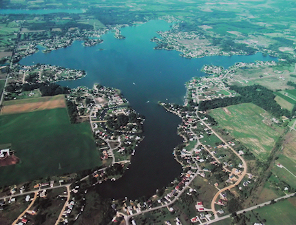
Lake Columbia is beautiful with lake living enjoyment in every season! This is a private, man-made lake that came into existence when farmland was transposed into this beautiful lake on November 10, 1961.
Vital Lake Statistics
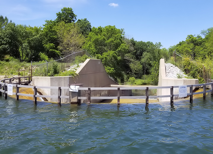
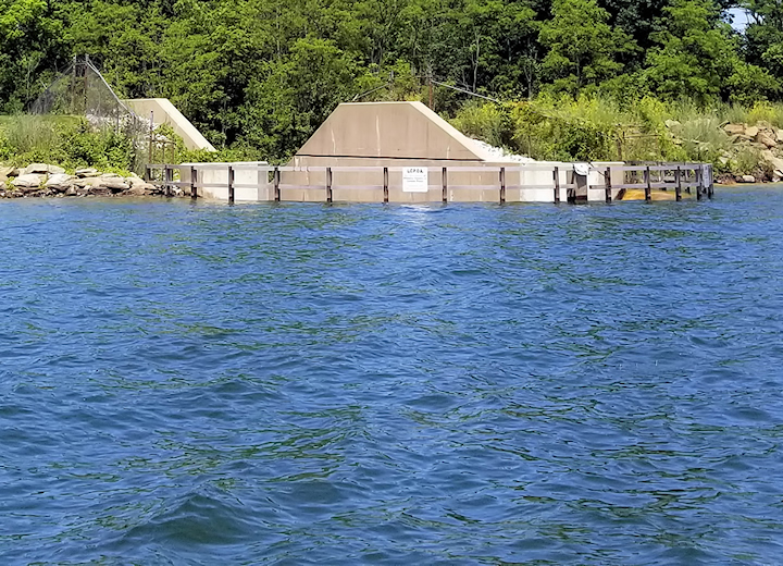
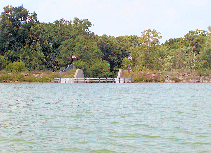
The Dam on Lake Columbia
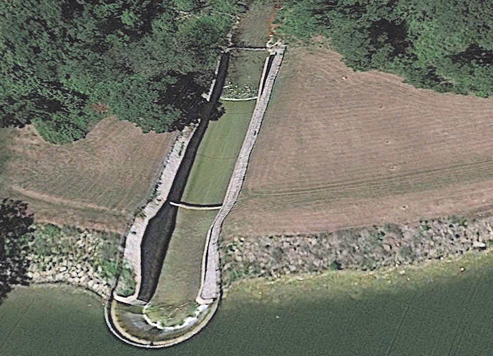
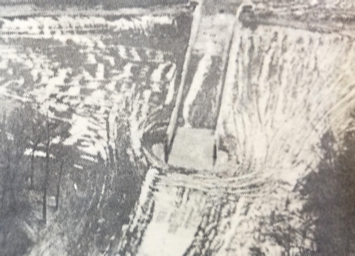
The dam on Lake Columbia was constructed in July of 1961 in order to stop the flow of Goose Creek. The lake has a primary inflow from Goose Creek and a primary outflow from Goose Creek. Goose Creek mainly flows from northeast and flows into the Raisin River. The Raisin River connects Lake Columbia, Clark Lake, Vineyard Lake and Norvell Lake together by way of Goose Creek. The drainage area of Lake Columbia is 25,000 sq. acres which drains from Jackson County and Hillsdale County, Michigan.
Dam Shape & Size
The earthen portion of the dam is L-shaped with the size being 950 feet long and 35 feet high. The head of water is 28 feet.
Spillway
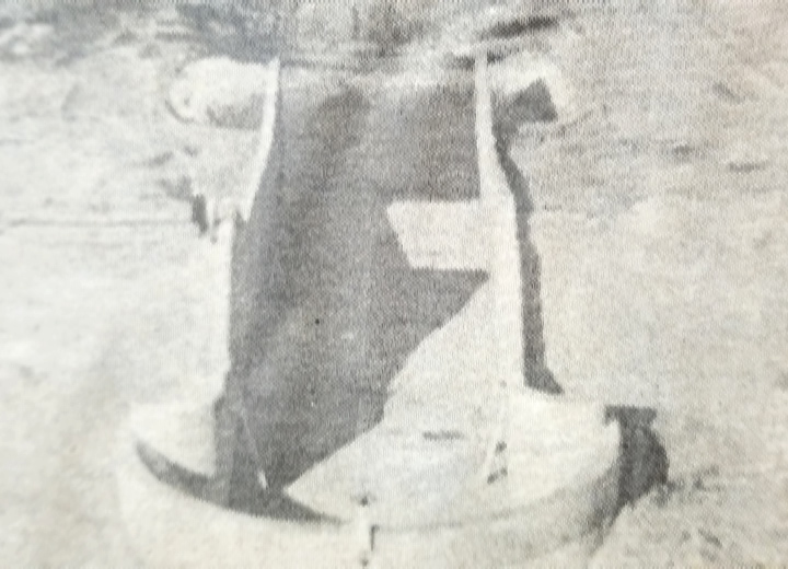
The spillway is 225 feet long and 30 feet wide with an average wall height of 12 feet. The mouth of the spillway is 50 feet in diameter.
Spillway Material
The dam has 2,000 cubic yards of concrete and 200,000 pounds of reinforced steel.
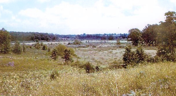
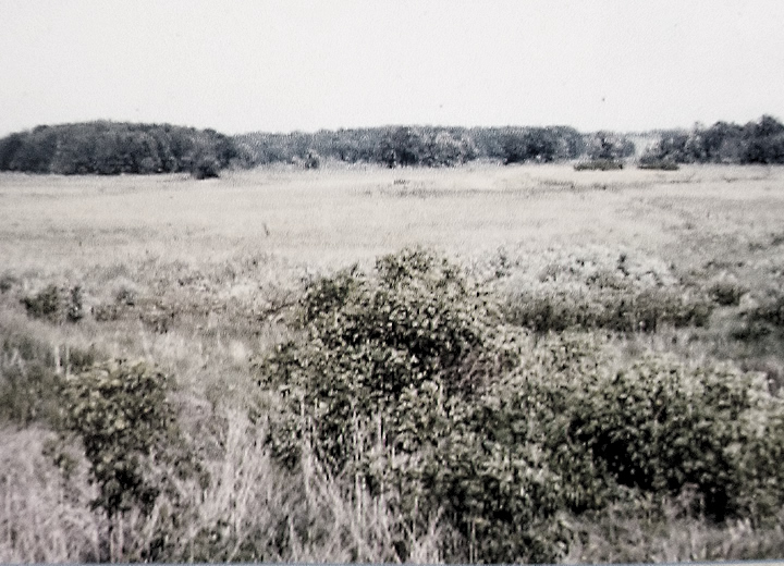
Before / After Photos
Hover over the photos with your cursor to see the before and after of that same area.*
*There may be some browsers that do not show the photos with sliders in this section.
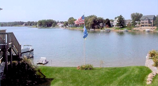
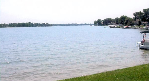
Bay View Shores
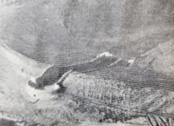
This is the east end of Bedford in area of Lot 136 looking west.
Cambridge Shores
This is showing area of Lot 43/44 Wesch Road looking south.
Historical Information
Beginning of Lake Columbia
Land was Purchased
In September of 1960, after an intensive study of the area by American Central Corporation of Lansing, Michigan, the people in the Lake Columbian area, which was then strictly farm land, were contacted and their farms purchased.
Construction of the Dam
In July of 1961, the construction began on the huge dam that now stops the flow of Goose Creek.
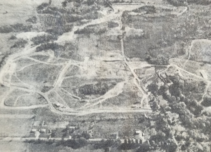
Clearing of the Land
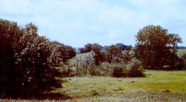
In the fall of 1961, large clearing crews worked to clear the wooded portions of land in the lake basin along with massive bulldozers. These dozers worked around the clock. At night they kept huge fires pushed up tight. The roaring blaze could be seen for miles around.
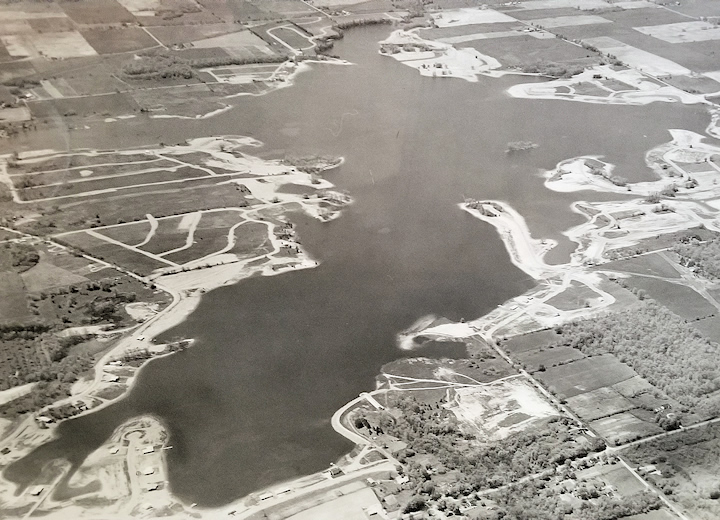
Flooding of the Land
On November 10,1961, it was red-letter day for that was the day flooding started and before your eyes you could see farmland being transposed into our beautiful lake. Lake Columbia was born, as flooding covered the vacant farmland, transforming fields into 840 acres of lake lovers' paradise in southern Jackson County.
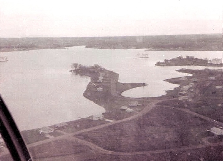
Houses Starting to be Built
This photo was taken by someone in a helicopter in the mid 1960s. The view is overlooking Wesch Road and Castlewood Drive.